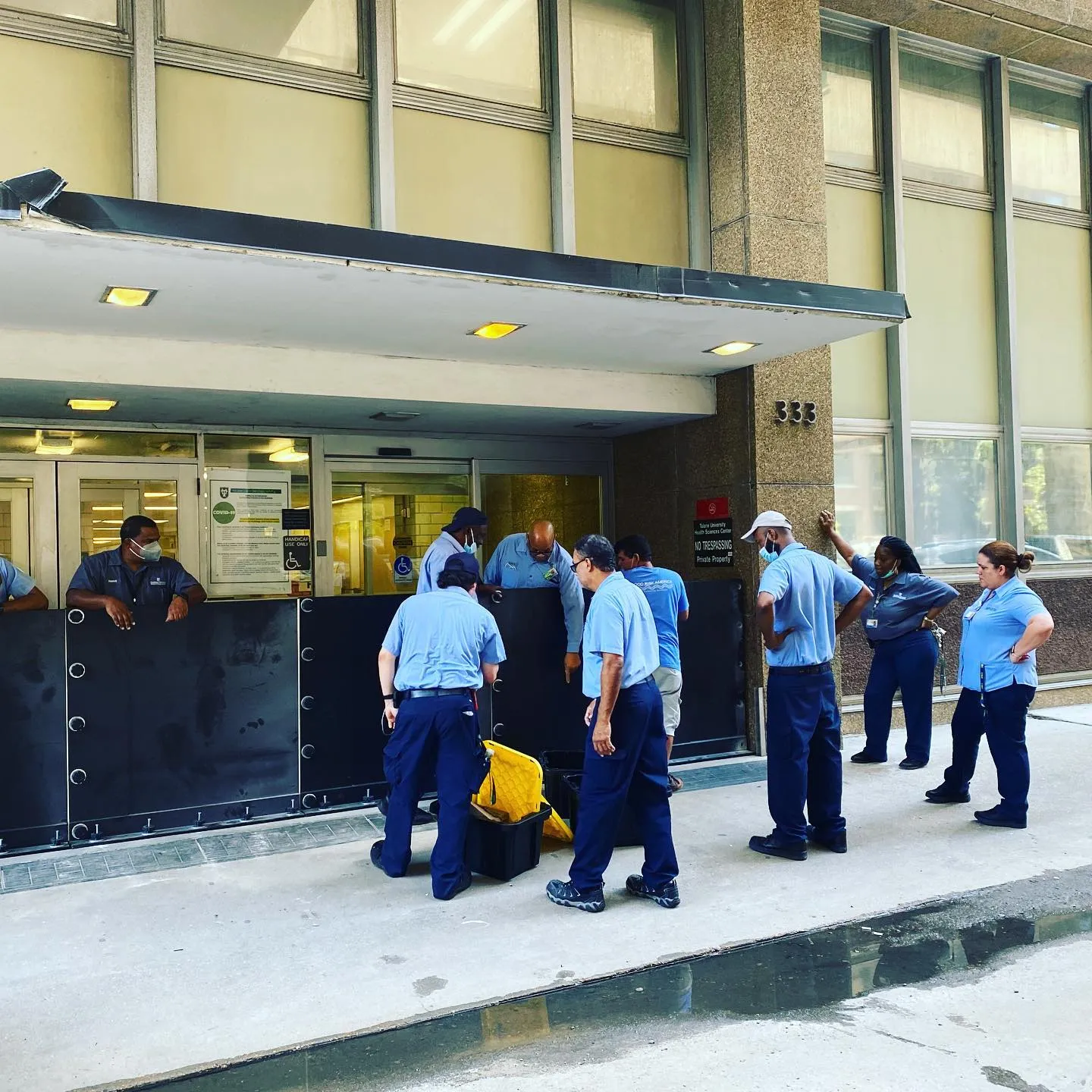
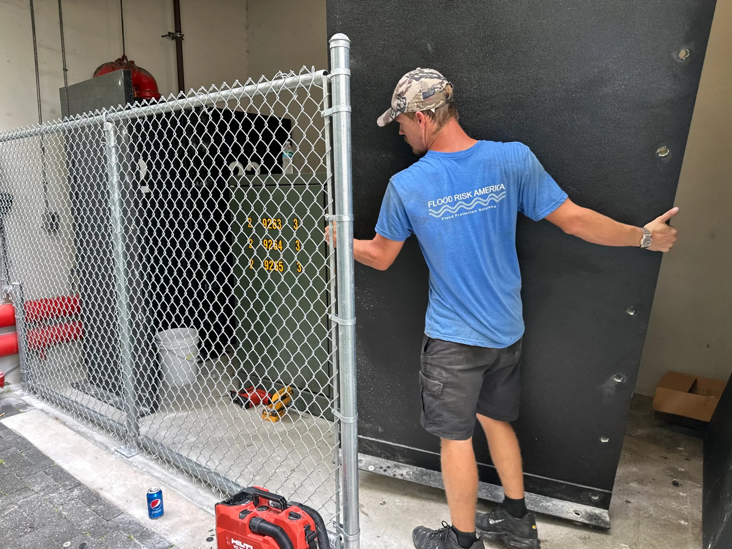
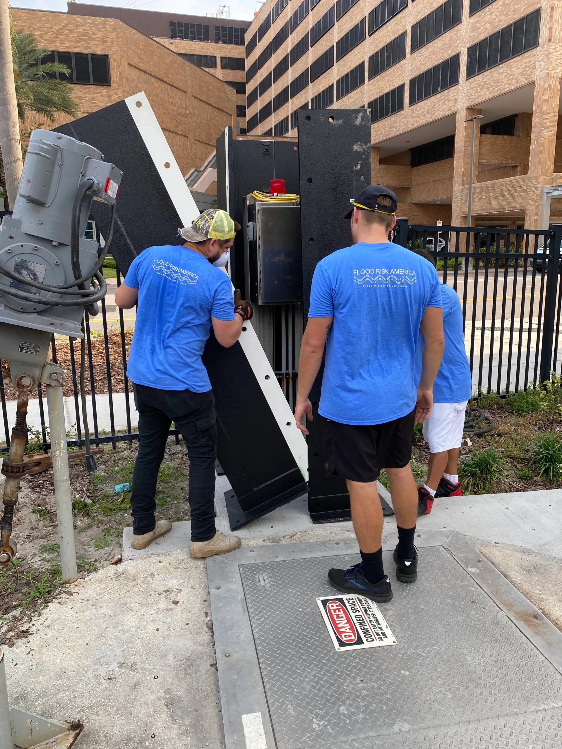
☰ MENU

Commercial Flood Mapping

Accurate commercial flood mapping services

Flood maps incorporate the latest and most accurate information as possible into the maps to allow better analysis for the risk your commercial property may face. Flood maps detail the extent to which commercial areas are at risk for flooding. They are used to help determine commercial flood insurance and building requirements. In many instances, the existing flood map is not accurate and at times they need to be updated resulting in potentially higher insurance premiums.

Flood Risk America’s unique commercial flood prevention services are specifically developed for property lending for banks and insurance agents. FRA’s commercial services are customized for all levels and sizes of property portfolios. Our first step is to determine whether a large development track is inside, outside, or in neighboring flood zone areas using our flood risk analysis service. FEMA maps may not always be accurate and up to date. Flood Risk America gives you a chance to receive better commercial flood coverage for your property by taking advantage of our advanced Flood Re-Mapping Program.

Book a free consultation

How do we create new commercial flood maps?

Our commercial flood maps use LiDAR (Light Detection and Ranging Technology). The unique LiDAR technology accuracy is attributed to its pulsed laser used to calculate an object’s variable distances from the earth surface. The light pulses are put together with the information collected by an airborne system to generate accurate 3D information about the earth surface. Using LiDAR technology, we have the ability to target an object or property in question to create an accurate model of the flood zone and map. The LiDAR system laser emits light that travels to the ground and reflects off objects allowing for an accurate commercial flood mapping system. Conventional methods result in low accuracy results and are unable produce high-resolution digital elevation model (DEM) data.

We help you understand the various approaches to flood risk reductions and create recommendations for your specific flood situations like Sewer back up, Storm Surge, Riverine Flooding, Flash Flooding, Coastal Flooding. We have the resources and experience to provide you with the answers to a multitude of different flood related questions that you may have.

Why should I request a new commercial flood map for my area?

Requesting a new flood map for your commercial area provides you with accurate data helping you understand your properties flood risk and save on your insurance premiums. Within recent years the technology available to create and analyze potential flood risk has improved providing more accurate results. Our advanced LiDAR technology mapping system has the ability to challenge the existing flood map up-dating banks and insurance company with the most accurate information.

New or in-fill commercial developments are urged to request a new flood mapping report before purchasing a new property. With new, accurate data, your commercial flood risk can change resulting in a need for structural changes, need for flood barriers, enhanced insurance savings and marketability.

Contact us

Determining your commercial flood risk

A flood is a general and temporary condition where two or more acres of normally dry land or two or more properties are inundated by water or mud-flow. Many conditions can result in a flood: over-topped levees, or clogged drainage systems and rapid accumulation of rainfall. In high-risk areas, there is at least a 1 in 3 change of flooding during a 20-years. Changing weather patterns, erosion and development can affect floodplain boundaries.

To identify a properties flood risk, we conduct a flood study. The study includes statistical data from river flow, storm tides, hydrologic/hydraulic analysis and rainfall by doing a flood risk analysis on a building. You must know the base flood elevation and the building finished floor elevations in order to know if your building is at high risk of flooding in a 100 year flood.